A little introduction of this amazing place.
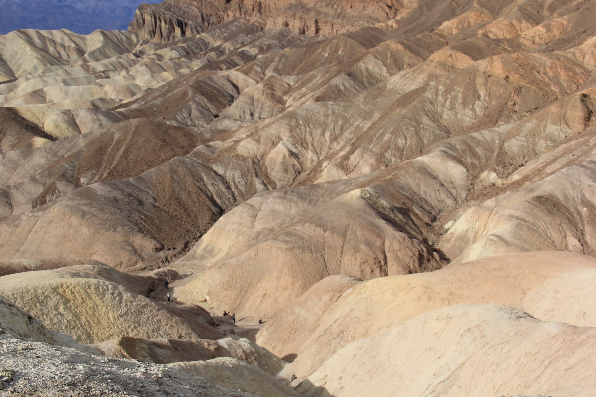
Death Valley is the largest national park in the contiguous United States, and the hottest, driest and lowest of all the national parks in the United States. Badwater Basin is the second-lowest point in the Western Hemisphere, 282 feet (86 m) below sea level.
On August 16th, 2020 the highest temperature ever reliably recorded on Earth 130F (54.4C) - may have been reached in Death Valley National Park, California (Aug 16, 2020). The recording is being verified by the US National Weather Service. Before this, the highest temperature reliably recorded on Earth was 129.2F (54C) - also in Death Valley in 2013.
When I had first decided to visit Las Vegas area, one of the place that I really wanted to visit after Grand Canyon was Death Valley. Not sure exactly why but the ruggedness of this place attracted me. On our way to Los Angeles, driving from Las Vegas in a rental car, we visited Death Valley National Park. What a pleasant experience it was!

In December things are much cooler in Death Valley but we still took ample precaution and took more than enough water and food with us. Just in case. Later we found out if visitors stay on the main roads there are little fear of getting into trouble.
We entered Death Valley using route 190. Most of the main attractions in the park are on this route. Our goal was to take it all the way to US-395 and continue toward Los Angeles.


No comments:
Post a Comment